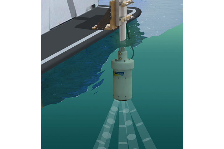
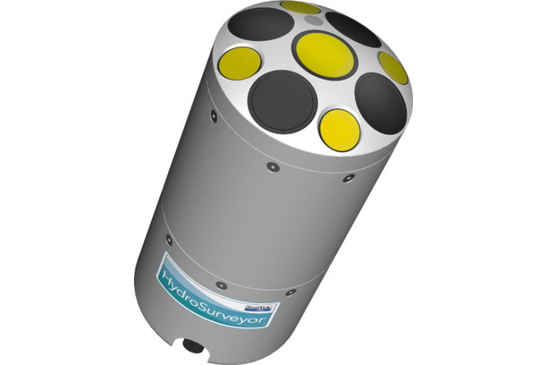
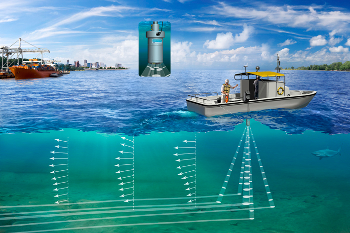
Using the HydroSurveyor, one can easily map the bathymetry as well as the water velocity profile of different kinds of water bodies.
The HydroSurveyor system consists of two components:
- the HydroSurveyor Acoustic Doppler Profiler (ADP)
- the user-friendly HYPACK software for processing the bathymetric data.
Thanks to the easy integration of the CastAway-CTD, the data can easily be compensated in case of a varying sound speed throughout the water column.
A built-in GPS or additional RTK GPS or DGPS systems can be used for positioning. In addition, the RiverSurveyor uses acoustic bottom tracking allowing correct positioning of the bathymetric data in case the GPS signal is lost.


